Aerial Imaging
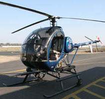
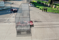
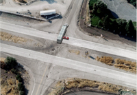
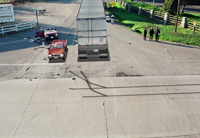
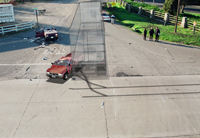
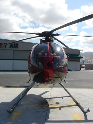
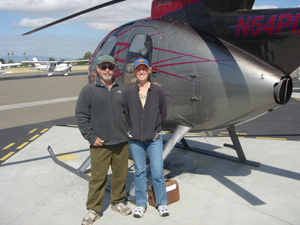
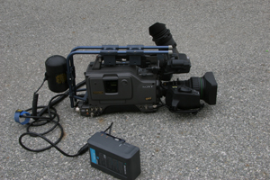
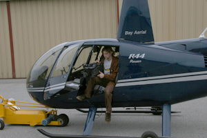
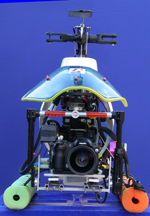
Aerial images are a very important part of forensic animation because they help orientate the viewer to an accident scene. They can also be used to determine lines of sight, distances, positions and establish time lines for various events. LAI uses helicopters, airplanes, satellites, cranes, remote control aircraft, and pole cams to acquire aerial images. Survey data is used to modify aerials to correct dimensions. The pole cam and unmanned aerial vehicles UAVs are also used to video tape vehicle motion during accident reconstruction. The subsequent video is then used to calibrate the vehicle velocities.


© Copyright 1995-2017 by Litigation Animation, Inc. All Rights Reserved

© Copyright 1995-2017 by Litigation Animation, Inc. All Rights Reserved


Forensic Animation Services
© Copyright1995-2017 by Litigation Animation, Inc. All Rights Reserved